The mix of El Niño and the polar vortex brings ‘added uncertainty’ to Philly’s weather forecast
"There's going to be no boring periods," said one veteran meteorologist.
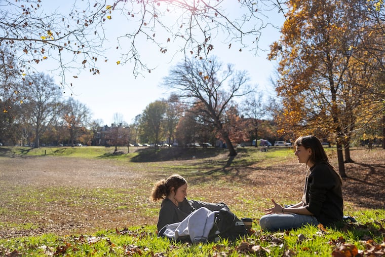
With the Philly region in for a splendid run of days with wall-to-wall sun and temperatures more characteristic of late April than the week before Thanksgiving, savoring them wouldn’t be the worst idea.
Before the weekend is over, the region may be getting a foretaste of the winter to come as a significant coastal storm develops — not that this would be a reprise of last week’s unseasonable tornadoes and plowable white rocks from the sky.
But it may have impacts, especially at the Shore, and meteorologists are becoming ever more certain that the Philly region and much of the nation are in for a tempestuous winter.
The El Niño warming in the tropical Pacific continues to cook and is approaching a record intensity. And, at least in the short term, it may interact with what would be the earliest known southward intrusion of the cold-air-importing polar vortex.
No one is quite sure how this might all work out, given the paucity of precedents, the mixed signals, and the non-signals.
The consensus is that the winter, particularly December, may be kind to heating bills, and Paul Pastelok, a longtime seasonal forecaster with AccuWeather Inc., issued an outlook that looks like a lock. The nation’s various weather apps and websites, he predicts, will experience blizzards of clicks.
“There’s going to be storm after storm after storm,” he said. “There’s going to be no boring periods.”
What’s going on up there?
El Niño’s influence: It’s going to get stronger
El Niño already is flooding North America with warm air and energizing storm tracks as warming waters over vast areas of the equatorial Pacific threaten to reach record intensities.
The warming is due to persist into the spring, having profound impacts on the weather-bearing west-to-east winds. One likely outcome is a harvest of storms strengthening in the Gulf and tracking up the East Coast.
Whether any produce heavy snow would depend on the availability of cold air, which typically is in shorter supply during El Niño, and that would be the case this weekend.
A possible polar vortex intrusion could have a temporary chilling effect on temperatures in the Northeast sometime in the next few weeks and could interact with the effects of an El Niño that may have had a role in dislodging it, according to atmospheric researchers such as the National Oceanic and Atmospheric Administration’s Amy H. Butler.
El Niño, stratospheric warming, and the polar vortex
About every two years, the potent west-to-east winds about 20 miles up that trap frigid air in the Arctic slacken and then reverse, allowing the cold to ooze southward. It may take weeks before the effects would be evident in the United States.
One such reversal, known as a sudden stratospheric warming because the air warms quickly and radically — by as much as 90 degrees Fahrenheit in the high atmosphere — occurred Nov. 10, the earliest in records dating to 1958.
El Niños may generate atmospheric waves that contribute to the Arctic disruptions, Butler said in a recent blog post on climate.us, a forum for weather and climate experts and the successor to climate.gov, a victim of NOAA cuts.
A polar vortex disruption, said Laura Ciasto, a meteorologist with the National Weather Service’s Extended Prediction Division, can nudge the polar jet stream, the upper-air boundary between warm and cold air, southward, “bringing the Arctic air with it.”
In this case, however, “there is added uncertainty,” she added. Only two other stratospheric warmings have occurred in November, both at the end of the month. Plus, the Arctic air is not as frigid as it would be in January, and the snow cover not as robust. Northern Hemisphere snow cover is the third-lowest in areal extent in the last 30 years, according to the Rutgers University Climate Lab.
And arguing against prolonged cold is El Niño’s December resumé.
December warmth
Michelle L’Heureux, a physical scientist who heads NOAA’s El Niño/Southern Oscillation team, recalled attending an Christmas gathering in the Washington, D.C., area in 2015 at which some of the guests showed up in T-shirts and sandals as warmth washed over the Northeast. In Philadelphia that day, it went up to 68 degrees in what was the warmest December on record.
That coincided with the last winter with an El Niño of comparable strength to this one.
While this month has been warm in much of the country, the evidence for an El Niño role in November warmth is wanting, and actually leans slightly toward below-normal temperatures. she said.
However, at least in Philadelphia, the December warmth signal appears to be robust. According to National Center for Environmental Information data, nationally temperatures were above normal in four of the six El Niños comparable to this one, and all six were warmer than normal in Philly.
Whatever role a polar vortex invasion may have in December or the rest of the winter, Pastelok said, “El Niño is just so overwhelming.”
The outlook for the Philly region
Philly’s first snow threat has not popped on radar yet, and for that matter the city is waiting for its first official freeze, although suburban areas have had their first ice sightings.
No precipitation is in the forecast until Sunday, when an El Niñoish coastal storm could generate substantial rain throughout the region, though the timing may spare the annual TIAA Philadelphia Marathon race, which kicks off at 6:55 a.m.
In the meantime, the next three days should feature tranquil conditions with highs in the mid-60s.
The polar vortex is not expected to be a factor.